Comparison of Atlas and AllTrails: Activity overview map
A quick one, but I wanted to just post a comparison of AllTrail’s activity overview map and my app, Atlas. This is the AllTrails one:
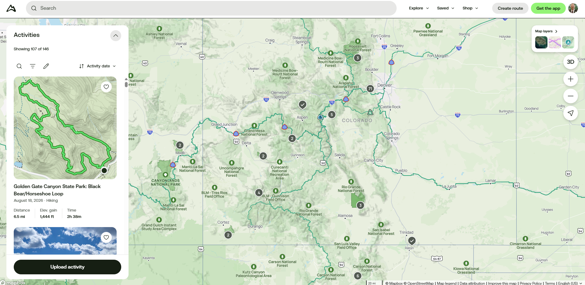
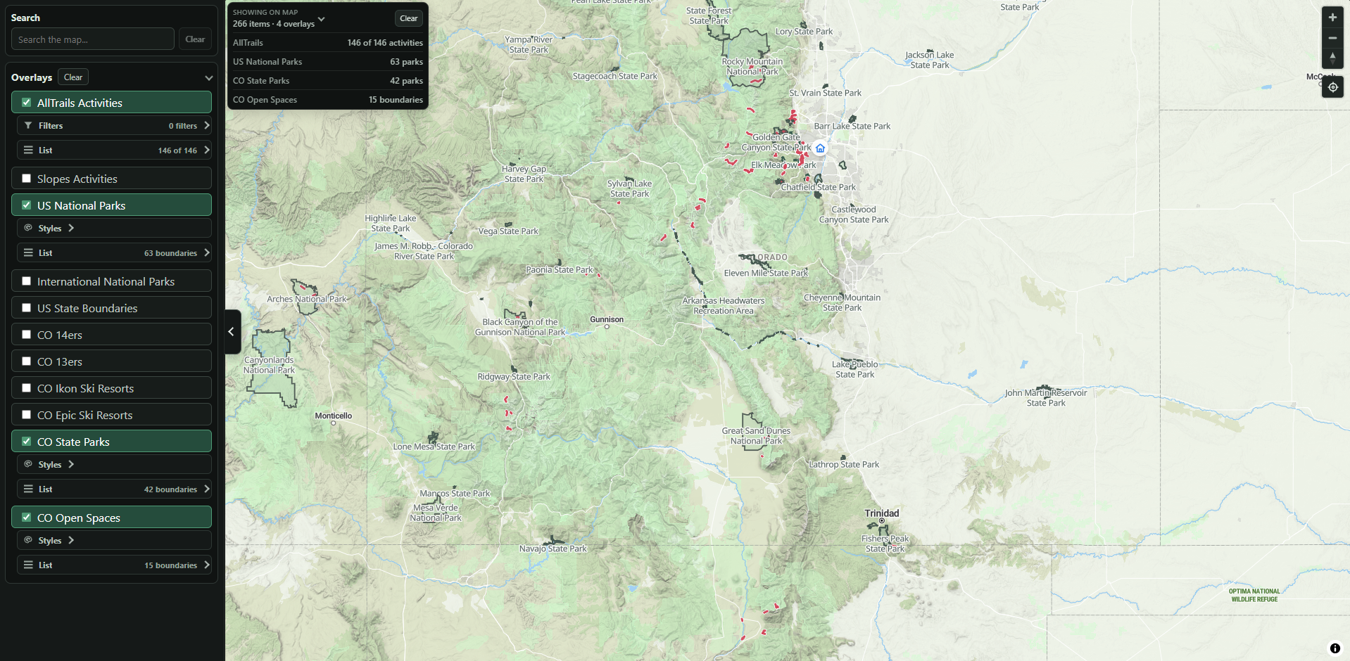
This reminds me of this blog and also his example map I saw on HackerNews a couple of months ago; just show the points! The clustering makes it way less useful. To actually show the activity track you have to hover over, it lags a few seconds and then eventually shows it to you. It’s sort of a weird page overall and I could only really find it on desktop, not sure if it exists on mobile or not. This is one of my big uses of tracking hikes though, I want to see where I’ve been even when I’m zoomed out so I can “fill in more of the map” on my next hike and go somewhere new. This is hard to do using AllTrails.